Department of Public Works, Taoyuan City
The City Government of Taoyuan has recruited many professionals in the fields of architecture, construction and administration to survey citizens' needs to rebuild the city landscape and demonstrate the results of public constructions. It is committed to serving the people and developing urban experience to improve the city's competitiveness.
The Department adheres to using social resources to continuously construct quality projects, implement construction management, and simplify administrative procedures. The Department has founded the "Integrity. Effectiveness. Public satisfaction" images for the government and improved the overall competitiveness of the economy, guiding the public to enjoy a new life in Taoyuan that has development, economy, prosperity, energy and quality of life.
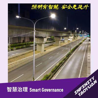
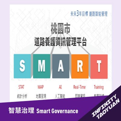
In recent years, the Department has made smart government and improvement of the efficiency of urban management its objectives, and successfully technologies such as smart street lamps, building management, digital management of common pipelines and 3D pipeline drawings, and earned recognition from academia, industry and various awards. The adoption of technology management has greatly improved administrative performance. In the future, the Department will fulfill the concept of smart government to build an even better Taoyuan City.
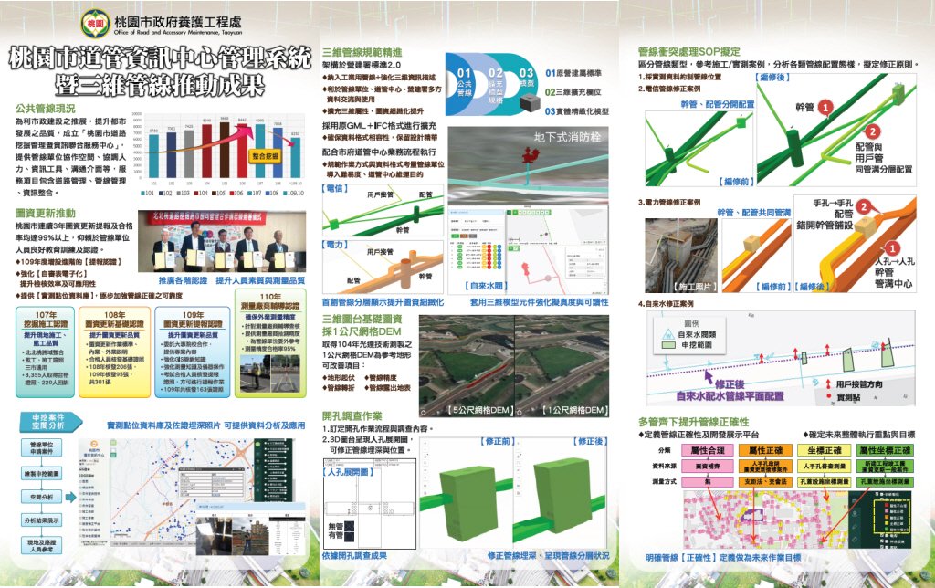
Taoyuan City 3D public facilities and pipeline system platform
Solution Description
Taoyuan City Road & Pipeline Management Information Services Center adopts smart management to coordinate excavation, management and maintenance, and improve the service quality of municipal roads.
Promote map data update
Reach 99% qualification rate for 3 consecutive years, attributable to good education, training and certification programs.
Refine 3D pipeline specifications
Built upon the standards provided by the Construction and Planning Agency and enhanced 3D information description
Adopt the GML + IFC format
3D map platform for basic maps adopt the 1-meter grid DEM
1-meter DEM produced with LiDAR technology is used as reference terrain, further improving the undulations.
Drill-hole survey
Define work procedures and survey items
3D manhole display to assist with correction of pipeline position
Establish SOPs for pipeline conflicts
Reference to project cases to analyze configuration patterns of various pipelines and formulate corrective measures.
Multi-pronged approach to improve pipeline accuracy
Define pipeline accuracy to determine future priorities and goals
Solutions

 、Firefox
  、Edge
、Edge  瀏覽器!
瀏覽器!