GEOSAT Aerospace & Technology Inc.
Established in 2004, GEOSAT Aerospace & Technology Inc specializes in the technological development and innovative applications of unmanned aerial systems. In 2014, the company was awarded with the National Industry Innovation Award. We are the only vertically integrated in Taiwan with upstream (R&D and production), midstream (operation services), downstream (data analysis) capabilities to provide total solution services. Committed to the development of innovative applications, our business covers innovative applications in emergency response, disaster prevention, environmental monitoring, resource exploration, security & inspection, and smart agriculture.
SI Award 2020-GEOSAT-MATA Solution
Solution Description
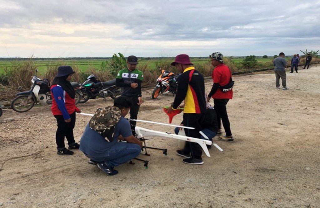
MATA Solution is a smart agriculture solution that integrates drones and artificial intelligence technology. The technical functions of the service system cover all major value activities of precision agriculture, from multi-spectral agricultural land survey and high-resolution ortho-photo mapping, crop growth management/ health monitoring, precise pest control on diseases, farmland security surveillance and land management, harvest and disaster damage assessment. GEOSAT Aerospace & Technology Inc. undertakes the integration of drone vehicle design and development, integration of multi-spectral/RGB cameras, multi-spectral survey of agricultural land and high-resolution orthophoto mapping, artificial intelligence-based identification, mapping, and analysis along with report for action plan.In Malaysia, over 22,000 hectares and 100,000 oil palm trees in Selangau and Gua Musang plantations have undergone aerial mapping and artificial intelligence/machine learning technology validation.
Solutions
 、Firefox
  、Edge
、Edge  瀏覽器!
瀏覽器!